Typhoon No. 7 Approaching Kanto: Ome and Okutama on High Alert for Heavy Rain and Landslides
As of 9:00 AM on June 23, Typhoon No. 7 (Maekkhala) is moving in a north-northwest direction east of the Philippines. With a central pressure of 925 hPa and maximum sustained winds of 50 m/s near the center, it remains an extremely powerful storm.
According to the Japan Meteorological Agency forecast, it will reach south of Okinawa by 9:00 AM on the 24th, and approach the waters near Okinawa's main island by 9:00 AM on the 26th. It is then expected to continue moving northward and reach east of the Kanto region by 9:00 AM on the 28th.
Also on June 23, Typhoon No. 8 (Higos) formed near the Mariana Islands. It's a dangerous situation with two typhoons moving northward simultaneously — a very characteristic late-rainy-season scenario for this year.
Impact on Tama, Ome, and Okutama
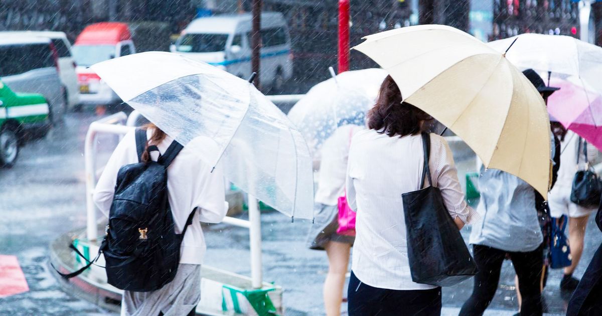
Whether the typhoon itself will make a direct hit on Kanto still has a wide margin in the forecast. However, the moist air flowing in from around the typhoon is activating the rainy season front, making localized heavy rain more likely throughout the Kanto region.
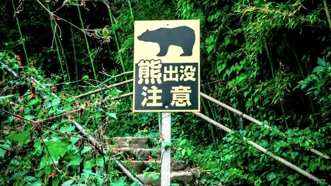
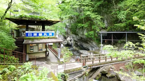
The area requiring particular caution is the mountainous zone stretching from Ome City to Okutama Town. Mountain slopes easily accumulate large amounts of rainwater, and even brief heavy downpours can trigger landslides and slope collapses. Since this is also the upper reaches of the Tama River, please be alert to sudden rises in river water levels.
During Typhoon No. 6 in June this year, up to approximately 1,800 households in Ome City were expected to experience water supply disruptions or reductions.
Things to Check Before This Weekend
Staying indoors is the most important thing you can do, but let's also get our everyday preparations in order.
- Check hazard maps: Confirm in advance which areas in Ome City and Okutama Town are designated as landslide disaster warning zones
- Check emergency supplies: Stock drinking water (aim for a 3-day supply per person), flashlights, and mobile batteries
- Tama River water level info: When heavy rain continues, regularly check the Tama River Water Level (Yahoo! Weather & Disasters)
- Confirm evacuation routes: Those living near streams or cliffs in Okutama and Ome should share evacuation destinations and routes with family members
Official Disaster Preparedness Information for Ome City and Okutama Town
The typhoon's track can change significantly within the forecast cone. The latest weather information is updated regularly at the JMA Typhoon Information and WeatherNews, so please check frequently.
- Ome City disaster weather and evacuation information: Ome City Official Site (Disaster Prevention Division)
- JMA Typhoon Information: www.jma.go.jp/bosai/typhoon/
- Japan Weather Association tenki.jp Typhoon No. 7: tenki.jp/bousai/typhoon/2607/
Weather in mountainous areas changes more suddenly than on flat land — it's always better to build in a generous safety margin.
Act Early When Planning Your Weekend
The typhoon is expected to come closest around the 27th to 28th. We strongly recommend avoiding outings to Ome and Okutama this weekend as much as possible.
Of course this means camping and hiking in the mountains, but fishing and barbecues along the Tama River can also be dangerous. Weather conditions can change rapidly when you think "it's still okay," so an early decision can save lives.
Even after the typhoon passes, landslides, fallen trees, and road flooding may remain. For travel to mountainous areas like Okutama, please wait until local authorities have confirmed safety. Keep checking the latest information, and please stay safe this weekend.

多摩エリアのディープな魅力を発信するWebメディア「多摩FM」の公式編集部アカウント。 地域に根ざしたカルチャーやライフスタイル、ちょっとマニアックなローカル情報まで、ラジオのようなどこか心地よい温度感でお届けします!